Lokate
Advanced Route Tracking for SAR K9 Teams
A training record without the track that goes with it is half the story. Lokate ties your GPS tracks to your logs so you can relive past sessions — see where you went, what happened, how conditions shaped the outcome. What you learn reviewing yesterday's training shapes tomorrow's.
Handle multiple K9s. Keep vet records, certifications, and seminar history in one place — ready to share with evaluators, team leads, or anyone who needs to see it. No digging through folders.
Logging System
After each session, capture details using fully customizable form templates. Build your own forms with the fields your team needs — no coding required. Whether trailing, area search, HRD, water, disaster, or avalanche.
Track Import & Replay
Import tracks from CalTopo or any GPX source. Label them as handler, K9, subject, or flanker. Replay everything together, watching the animation unfold to see how each participant moved through the area.
Weather & Conditions
Lokate automatically pulls weather data for your training period — from when your subject went out till found, covering conditions that happened overnight. No extra effort required.
K9 Profiles & Archive
Keep detailed profiles for each K9 — certifications, disciplines, handler assignments. Every assignment archives automatically to iCloud with tracks, logs, photos, and a formatted HTML report.
Features (v4.1)
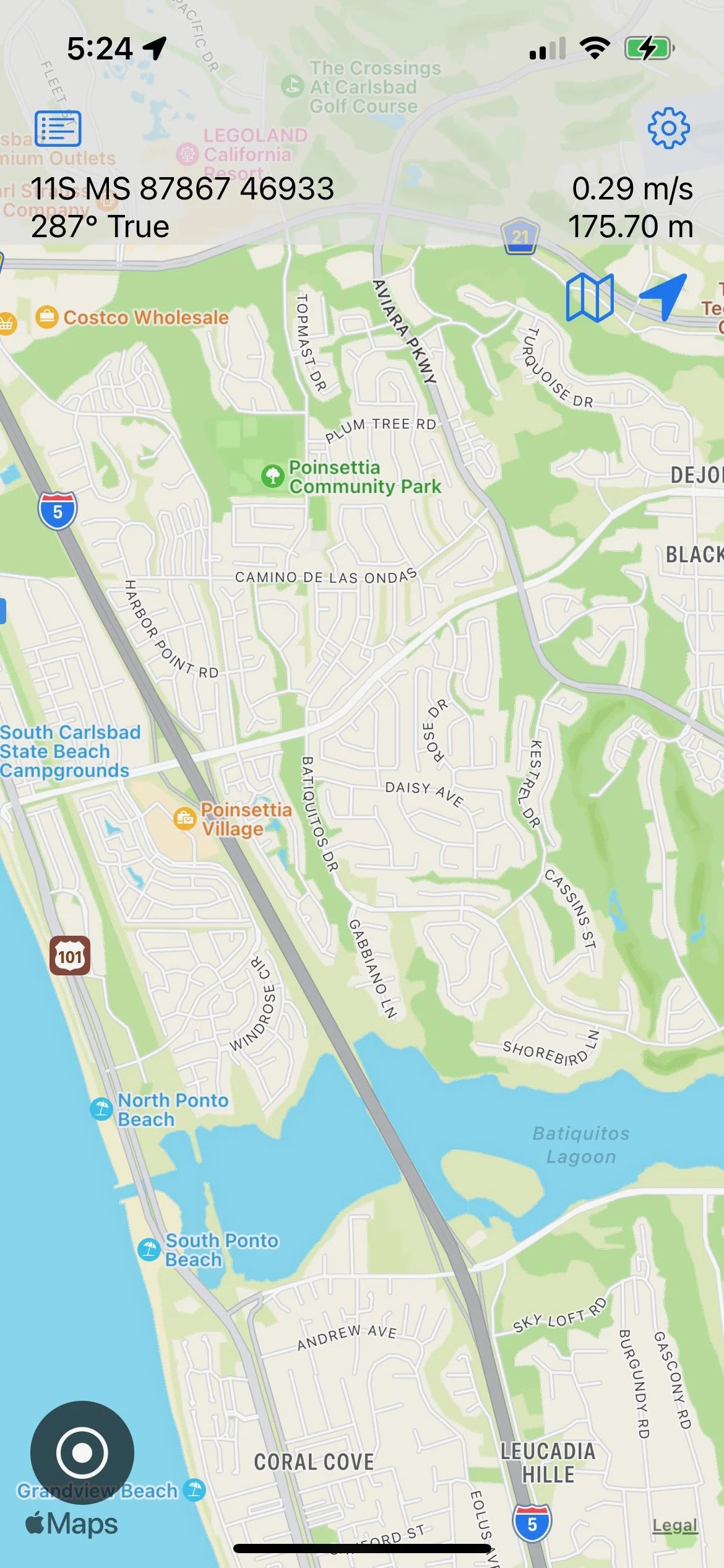
- 1 Modernized UI with instant track information overlay (HUD)
- 2 Coordinate systems: MGRS, WGS84, UTM
- 3 Drop clues/markers while recording with notes and images (metadata includes location, heading, speed)
- 4 Import/export: GPX and geoJSON — seamless with CalTopo, Man-trailing, etc.
- 5 Tracks labelled as handler, K9, flanker, subject with computed diagnostics. Subject tracks show scent pools.
- 6 Animated playback of recorded and imported tracks
- 7 Full personalized log system with exportable/importable templates
- 8 Automatic archiving with 2-sheet HTML report generation
- 9 Weather data from subject departure through find — including overnight conditions
- 10 Apple Watch: instant coordinates, active area, drop clues from your wrist
Help & Documentation
Detailed guides for assignments, importing/exporting, logging, Apple Watch, archiving, and more.
View Help PagesConfiguration Builder
Create custom log templates and shortcut configurations for Lokate — right in your browser. Load a preset, customize it for your team, and download a .lokate file to import on your device.
Requires iOS 26+